Long waits at lights and sudden jams can turn a normal commute into a headache. You might think traffic control is stuck on fixed timing, but intelligent transportation systems (ITS) change that by using sensors, computers, and communication to guide what happens on the road in real time.
In simple terms, ITS explained means smart tech (like cameras and AI software) that helps make travel safer, faster, and greener. It can spot slowdowns, detect hazards, and even coordinate signals so traffic moves more smoothly.
With congestion still costing drivers time and money in 2025 and 2026, ITS matters now because it helps cities cut delays and respond faster to real-world events. Next, you’ll see what makes ITS work under the hood.
Core Components That Make ITS Work
Intelligent Transportation Systems (ITS) work because multiple parts talk to each other, then act fast. Think of it like a team: sensors notice what’s happening, networks carry the info, control centers decide what to change, and apps keep drivers informed. Meanwhile, AI helps spot patterns sooner than people can.
These building blocks are also why ITS can respond to real events, like a crash or a sudden slowdown, without waiting for a report.
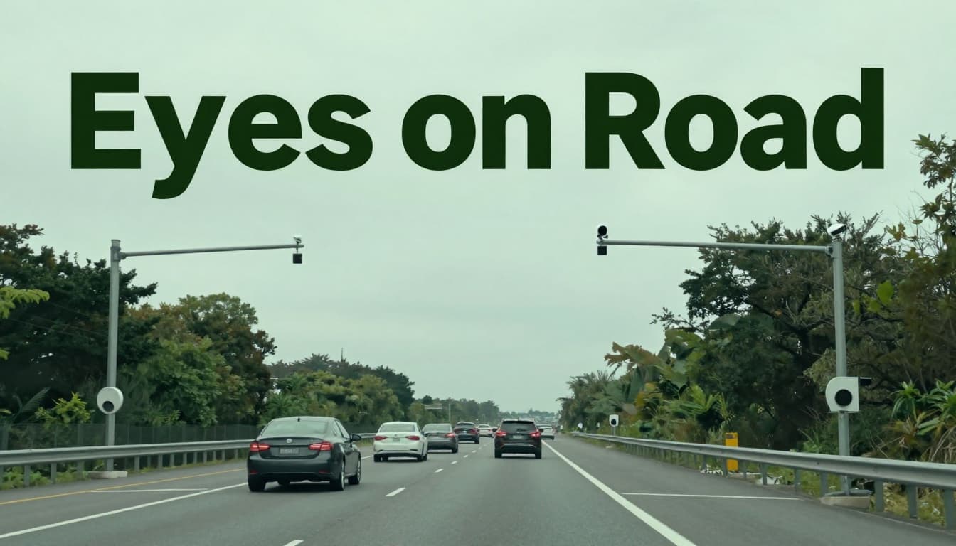
Sensors and Cameras: The Eyes on the Road
For ITS, sensors and cameras are the first set of eyes. They watch road conditions and count traffic, then send updates quickly. In practice, this means loop detectors, radar, lidar, and video cameras notice changes as soon as vehicles arrive.
- Loop detectors sit in the road surface. They help count cars and measure speed by timing how long vehicles stay over the sensor.
- Radar checks vehicle movement from a distance. It’s useful for speed estimates and detecting vehicles even when visibility is poor.
- Lidar uses laser light to map objects in 3D. It can better separate lanes and shapes, especially for complex scenes.
- Video cameras capture continuous footage. With video analytics, they can detect events like crashes, stalled vehicles, or traffic build-ups.
You’ll often see these systems used for things like car counting, speed monitoring, and incident detection. For example, a city might use cameras and detectors near an intersection to spot a crash within seconds. Then ITS can adjust how long signals stay green, so the backup doesn’t grow.
Real-time data collection matters because road conditions change minute by minute. When sensors detect congestion or a hazard, they report it immediately to nearby intersections and central systems. As a result, operators and algorithms can respond fast, not after the traffic already spreads.
For a deeper look at how sensor tech supports ITS, see Sensor technologies for ITS.
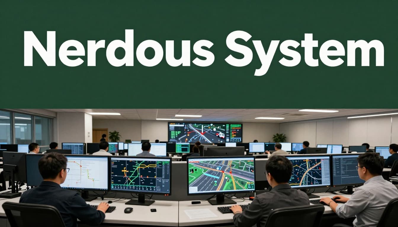
Communication and Control Centers: The Nervous System
Next comes the communication and control centers, which act like the system’s nervous system. Sensors alone can’t fix traffic. They need a way to share what they see, then coordinate changes across signals and roadside units.
In most ITS setups, road devices connect through wireless links. That can include cellular networks, Wi-Fi, or dedicated radio systems, depending on the site and agency budget. These links send messages such as:
- Traffic volume updates (how many cars just arrived)
- Speed and travel-time estimates (where slowdowns form)
- Incident alerts (like a detected wreck or blocked lane)
- Signal status (what phase is running right now)
Then the control center takes over. It’s where the data lands, gets checked, and turns into action. If a cluster of lanes starts slowing down, the system can shift signal timing to reduce stops. Likewise, it can change signs or advisory speeds near a hazard.
A simple way to picture it: sensors report like “what I’m seeing,” and the control center decides like “what we should do next.” Over time, the control logic can learn which timing patterns work best for certain conditions, such as weekday rush hours or bad weather.
If you want an example of how centers coordinate operations, explore command and control operations centers. Even outside transportation, the idea stays similar: central rooms connect many systems so decisions happen quickly.
AI Software and User Apps: Making Smart Choices
Once data moves through sensors and networks, AI software helps turn it into predictions and recommendations. It’s not just about collecting traffic counts. It’s about recognizing patterns early, so delays never fully take over.
AI models can predict where a jam might form by looking at trends like:
- Speed drops across multiple segments
- Sudden volume spikes from ramps
- Repeated bottlenecks at specific intersections
As a result, the system can warn drivers sooner, or adjust signals before the slowdown spreads. On top of that, AI can support incident detection by flagging unusual motion, like a vehicle stopping where it shouldn’t.
Meanwhile, user apps bring those insights to the people who need them. You see this in route choices, estimated arrival times, and alerts about slowdowns. For public transit, apps can also show bus or train times that update as traffic changes.
One more layer often gets overlooked: cybersecurity basics. When apps and control centers share data, attackers can target that flow. So agencies use standard steps like:
- Encryption for data in transit
- Access controls (only authorized staff can change settings)
- Segmentation between public-facing services and core systems
- Regular patching and monitoring for strange activity
Cyber risks now grow alongside AI use, so planning for defense matters. For a clear look at the connection between AI and transport security, see the intersection of cybersecurity and AI in transportation. Keeping systems protected helps ITS stay trustworthy when it matters most.
And if you want to see how federal partners frame AI work in transportation, start with Artificial Intelligence | ITS Joint Program Office.
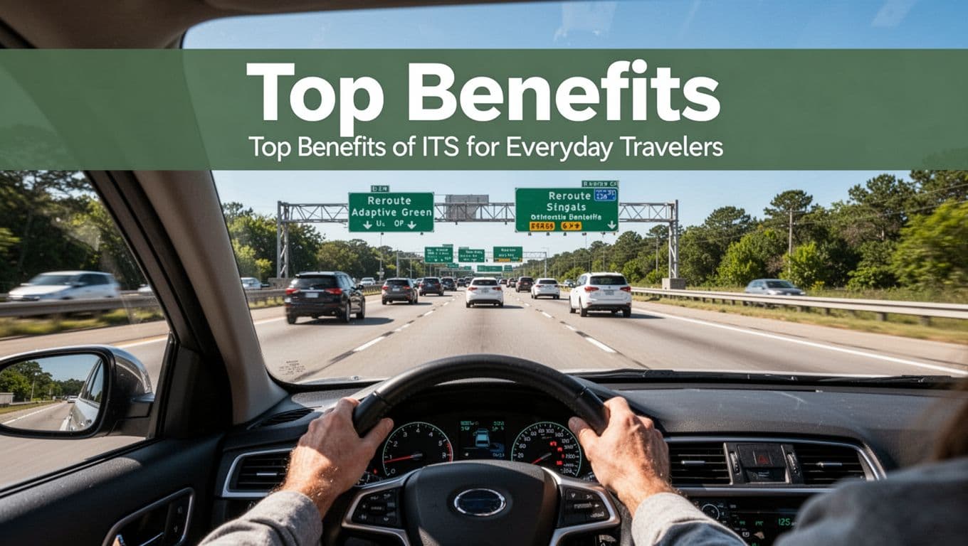
Top Benefits of ITS for Everyday Travelers
When you hear “intelligent transportation systems,” it can sound technical. Still, the big point is simple: ITS helps your trip feel calmer, safer, and more predictable. It does this by watching what’s happening on the road, then adjusting plans in real time.
For a quick sense of where this is headed, the U.S. Government Accountability Office notes that ITS benefits like congestion relief and safety can vary by setup and funding, but the promise stays clear. In other words, the wins are real, even if results depend on how well systems get deployed. You can see one federal framing of how ITS supports safer, more efficient travel in the ITS Joint Program Office overview.
Here are the everyday traveler wins you feel most.
Smoother Traffic and Less Waiting
Imagine skipping the wait at the worst light in your drive. That’s the everyday promise behind ITS signal timing that adapts to traffic as it changes. Instead of running on fixed schedules, adaptive signals use live traffic counts and movement patterns to decide how long each phase should last.
As a result, you get fewer long red cycles and less “stop and creep.” When demand spikes, ITS can extend green time where queues grow. When traffic drops, it reduces wasted time. The logic is similar to how a smart thermostat adjusts heat, rather than running the same routine all day.
Even better, ITS can help you avoid the jam instead of sitting inside it. With jam reroutes, the system detects slowdowns early, then sends route guidance to keep you moving. In practice, that can mean:
- Shifting you to a parallel road when a bottleneck forms
- Advising an alternate exit if an incident blocks a lane
- Updating expected travel times as conditions change
One reason this matters so much is that congestion builds fast. If the system waits for reports, delays snowball. With real-time detection, it can respond sooner, so you spend less time braking, accelerating, and re-entering traffic later.
For city planners and transit agencies, the same data supports smarter timing across corridors. For you as a driver, that often turns into a trip that feels shorter, even if the distance stays the same.
Also, smoother flow doesn’t just mean comfort. It means you hit fewer ripple effects, like backups spreading to side streets and ramps. When signals and reroutes work together, traffic acts more like a well-coached line than a tangled group.
Boosted Safety and Quick Emergency Help
ITS doesn’t only fight traffic. It also protects people, especially when seconds matter. You’ll notice this through hazard warnings, faster incident detection, and pedestrian alerts that respond to real conditions.
First, consider hazard warnings. When sensors or cameras detect a crash, stopped vehicles, or sudden lane blockages, ITS can trigger alerts quickly. Instead of learning about the problem only when you arrive, you get earlier heads-up, often through roadside changeable message signs or driver apps.
Next comes incident detection. Many systems look for patterns that don’t fit normal traffic flow. For example, vehicles that stop abruptly in a live lane, or speed dropping sharply across a short stretch, can flag an emergency before the queue forms. That early flagging helps keep speed more controlled and reduces the chance of secondary crashes.
Pedestrian safety adds another layer. In areas with heavy foot traffic, ITS can support pedestrian crossing alerts by detecting when someone is waiting and adjusting the signal plan to protect crossing time. In practice, these systems reduce the “I thought I had time” moments that lead to risky crossings.
Emergency response benefits too. When incidents get detected early, dispatch teams and responders can reach the scene with better information. Some ITS setups also support traffic management around the incident zone, which can clear a safer path for response vehicles.
Here’s the big takeaway: ITS turns the road into a place that can notice problems sooner. It’s like a smoke alarm that doesn’t wait for a fire to spread.
If you want a helpful, plain-English view of why ITS safety and congestion gains can depend on conditions, the GAO report explains limits on ITS benefits. It also helps you understand why “smart” systems work best when agencies plan for coverage, maintenance, and consistent operations.
Greener Rides with Fewer Emissions
Cleaner air often starts with less idling. When ITS reduces stop-and-go traffic, it also reduces the fuel burned while engines sit waiting. That means fewer emissions along busy corridors, especially during rush hour when delays add up.
So how does it work in everyday terms? When adaptive signals cut long waits, you spend more time moving at steadier speeds. At the same time, reroutes can keep you off the worst congestion pockets. Instead of inching forward for miles, you get smoother travel, and your vehicle consumes less fuel per trip.
It’s not just about carbon. Smoother flow can also reduce tailpipe pollution formed during repeated acceleration and braking. When traffic moves more smoothly, the “grind” that creates higher pollution levels tends to ease.
Transit systems and bus routes can see even clearer benefits. When traffic management supports better signal timing along bus corridors, buses can keep schedule with fewer delays. That reduces wasted idling time at stops and helps riders get where they need to go faster.
Freight is part of the picture, too. ITS can help trucks avoid congestion zones and plan better around incidents. For operators, fewer delays can reduce fuel costs, and those savings often show up as more consistent deliveries.
Cities also gain planning value from ITS data. When agencies measure where delays form and how conditions change, they can target improvements that cut congestion at the source. Over time, that means fewer “always-busy” choke points.
In short, when ITS helps traffic behave like it has better manners, you benefit twice: you drive (or ride) less tired, and the air tends to be cleaner.
For another view of how smart traffic management supports both motorists and cities, see smart traffic management benefits for cities and motorists.
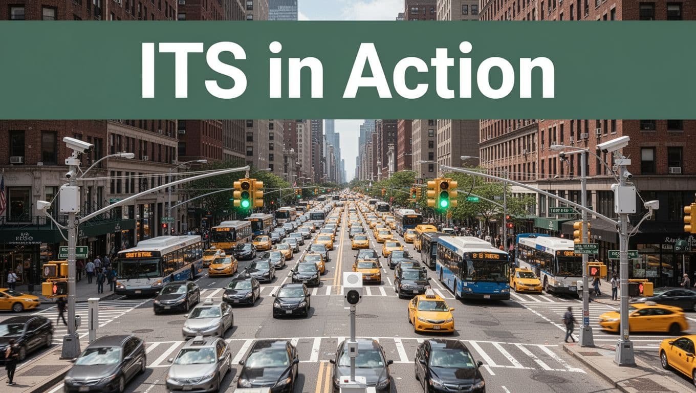
ITS in Action: Real Examples from Cities Today
ITS stops being “tech talk” when you see it work during a real commute. Lights adjust, signs warn, and apps tell you what’s ahead, not what happened five minutes ago. That’s the heart of ITS examples in action: sensors collect data, systems react fast, and riders and drivers feel the difference.
To make it concrete, this section focuses on two everyday moments: how intersections change on the fly, and how guidance shows up in your pocket.
Adaptive Traffic Lights Changing on the Fly
Picture a busy corridor in New York during the afternoon rush. You hit one intersection, then another, and the green times feel oddly “aware.” That’s the point. With adaptive traffic signals, the system can extend green when it sees queues building, and it can shorten phases when demand drops. In other words, the lights behave more like a smart conductor than a metronome.
In NYC and LA, cities use connected traffic systems that pull in live counts from detectors and video analytics. When bus arrivals spike, the logic can prioritize bus movement to reduce bunching. When turns clog up, it can rebalance phase time to keep side streets from choking. Even small changes matter, because delays ripple outward to nearby blocks.
Los Angeles often faces rapid changes in traffic patterns, especially with on-ramps, lane merges, and special events. ITS helps by coordinating signal timing across multiple intersections instead of treating each junction like a separate island. As a result, drivers experience fewer stop-and-go waves, and transit operators see more consistent travel times.
You can even find evaluations of adaptive systems that model intersection behavior. One example is an ITS deployment evaluation in Colorado Springs that used radar, lidar, and video analytics, along with a “digital twin” approach, with estimated reductions in delay reported as high as 23.7%. If you want a data-driven snapshot of how these setups get tested, see the ITS Deployment Evaluation entry for that project: Colorado Springs adaptive traffic evaluation.
In practical terms, the value shows up as less time waiting at red. It also shows up as fewer tense moments where you can feel a backup forming. When lights react quickly, the road stops feeling like it has blind spots.
Smart Apps and Signs Guiding Your Trip
Now think about the part of your drive you can’t see: what’s happening a few miles ahead. ITS turns that invisible stretch into clear guidance through smart apps and highway signs that update with real-time conditions.
On the roadway, agencies use connected changeable message signs and smarter variable signs. They can post crash alerts, lane closures, and detour directions quickly. They can also warn you earlier about speed drops due to weather or congestion. So instead of learning about a slowdown when you reach it, you often get a heads-up while there’s still time to adjust.
Meanwhile, your phone acts like the translator between traffic data and human decisions. Transit apps can show whether buses run on time, what stop has delays, and when to expect the next vehicle. Highway apps can forecast travel time, suggest alternate routes, and adjust as conditions change.
In major US metros, riders rely on live transit predictions because delays don’t follow a fixed timetable. If a subway line slows down, apps can route you toward a faster option. If a bus is stuck behind traffic, guidance can shift you to a nearby stop or suggest a different line. The goal is simple: help people move with less waiting.
In Europe, the pattern is similar, just with different tools. Cities often push more multimodal info into traveler apps, so you can plan a route that includes trains, bikes, and rideshare options. That matters because it gives you control when traffic gets messy, not after it’s already messy.
If you want a broader view of which traffic technologies cities adopt and why they stick, check Road Safety Technologies Adopted by U.S. Cities in 2025. You’ll see how sensor-rich systems support safer decisions for drivers and pedestrians.
Here’s what these ITS tools change for you, day to day:
- Fewer surprises from crashes or stalled traffic because alerts update faster.
- Better route choices because guidance reflects current conditions, not past averages.
- Less transit stress through live arrival info that reduces guesswork at stops.
In short, ITS apps and signs help you plan like you have a local traffic expert on standby.
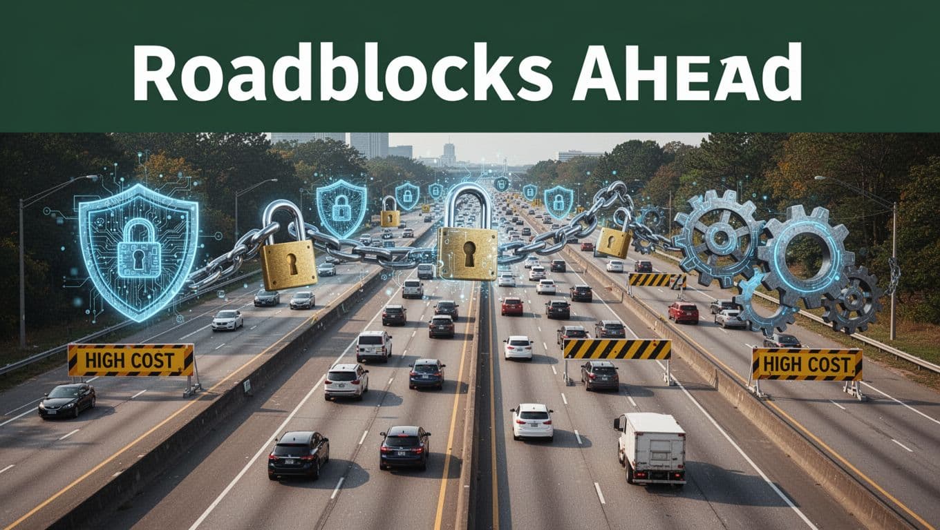
Challenges Facing ITS and What’s Coming Next
ITS sounds simple when you picture a traffic light that “thinks.” In reality, getting intelligent transportation systems to work at scale comes with real friction. Costs, security, privacy, and uneven standards can stall good ideas, even when the technology performs well in a lab.
Biggest Roadblocks Right Now
1) Costs that keep climbing. Deploying ITS often means buying sensors, building networks, training staff, and maintaining everything for years. That adds up fast, especially for small cities and rural agencies that still run older signal systems. In many places, budgets feel squeezed, so projects get delayed or scaled down.
2) Cyber threats on connected systems. ITS depends on networks and remote control, so it attracts attackers. A breach could disrupt signals, steal data, or create unsafe behavior. It helps to treat ITS like other critical systems, not like “extra software” on top of roads. For a closer look at security and privacy issues, see Security and Privacy Issues of Intelligent Transportation System.
3) Data privacy and trust. Many ITS tools collect sensitive location data. Even if the goal is safety, people worry about surveillance. Agencies need clear rules for what gets collected, how long it stays, and who can access it. Can we solve privacy in a way drivers actually understand? That question matters as soon as you move beyond pilots.
4) Standards and integration gaps. Systems from different vendors may not “talk” well. When standards differ across states or agencies, teams spend time translating data instead of improving service. ITS America pushes for better funding and more interoperable technology in ITS America’s 2026 Surface Transportation Reauthorization Policy.
5) Maintenance and the talent gap. Sensors age, software breaks, and networks change. On top of that, staffing can be thin. When one key person leaves, knowledge walks out the door.
Exciting Trends Shaping Tomorrow’s Roads
Despite those hurdles, 2026 is pushing ITS toward more practical, day-to-day value. Instead of only testing new tech, agencies are starting to connect systems and run them as ongoing services.
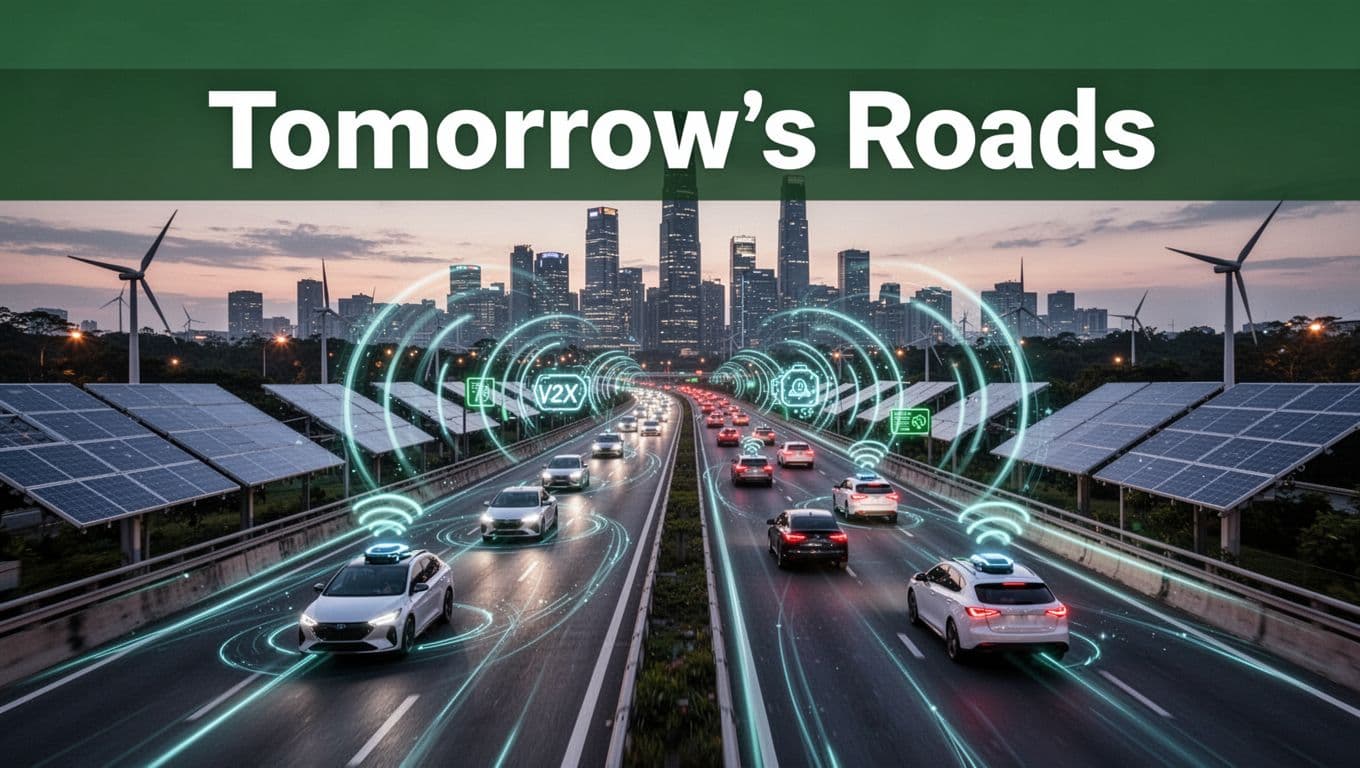
AI plays a big role here. The most useful applications focus on prediction and operations, like forecasting where congestion will form and helping asset teams plan maintenance before equipment fails. In addition, AI can support smarter decisions during incidents, like rerouting and resource dispatch guidance.
Autonomous vehicle progress also affects ITS planning. Even if most roads still rely on human drivers, fleets need better communications and safer corridor design. That is where V2X (vehicle-to-everything) comes in, because it turns “warnings” into faster, shared context.
Meanwhile, sustainability is moving from a poster idea to an operating goal. Cleaner traffic flow can reduce idling, and better signals can cut stop-and-go energy waste. At the same time, greener ITS depends on smarter power planning for roadside and edge computing sites.
Finally, there is a growing push to use AI responsibly in transportation operations. ITS America offers decision-maker guidance in AI Applications for Transportation Operations and Asset Management.
The outlook for 2026 stays realistic, but not bleak. If agencies pair stronger security, clearer privacy practices, and better integration, ITS can keep improving safety and travel reliability without leaving whole communities behind.
Conclusion
Intelligent transportation systems (ITS) turn roads, signals, and traveler info into a system that can respond in real time. Because sensors, AI tools, and connected networks work together, ITS helps reduce crashes, cut delay, and lower idling, so trips feel more predictable for drivers and riders.
That’s also why the “next step” is local. Look for ITS features in your city, like adaptive signal timing, faster incident alerts, or updated route guidance in apps. Then support smart funding and clear privacy and security rules, so these systems stay reliable as they grow beyond pilots.
As 2026 approaches, the strongest promise is this: safer, faster, and greener travel across buses, trains, bikes, and rideshares. The more cities connect their systems and share trusted data, the easier it gets to move from one mode to the next without stress.
What would you want improved first on your daily commute, faster alerts, smoother signals, or better multimodal trip planning?