Traffic jams in 2026 cities feel personal. You leave with a plan, then you crawl, then you burn fuel, then you check the clock again. Congestion also costs billions of dollars in wasted time and adds pollution from idling cars.
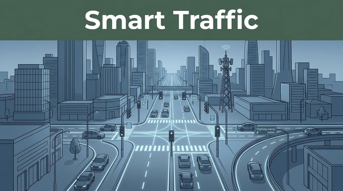
The promising part is this: traffic management systems are getting smarter. Using intelligent transportation systems (ITS) like sensors, cameras, AI, and connected-vehicle data, cities can predict slowdowns, adjust street control in real time, and steer drivers toward smoother routes.
In short, these systems don’t just “move traffic.” They keep traffic from breaking down in the first place. Below are the key systems that help reduce traffic congestion, with real 2026 examples and simple explanations of how they work.
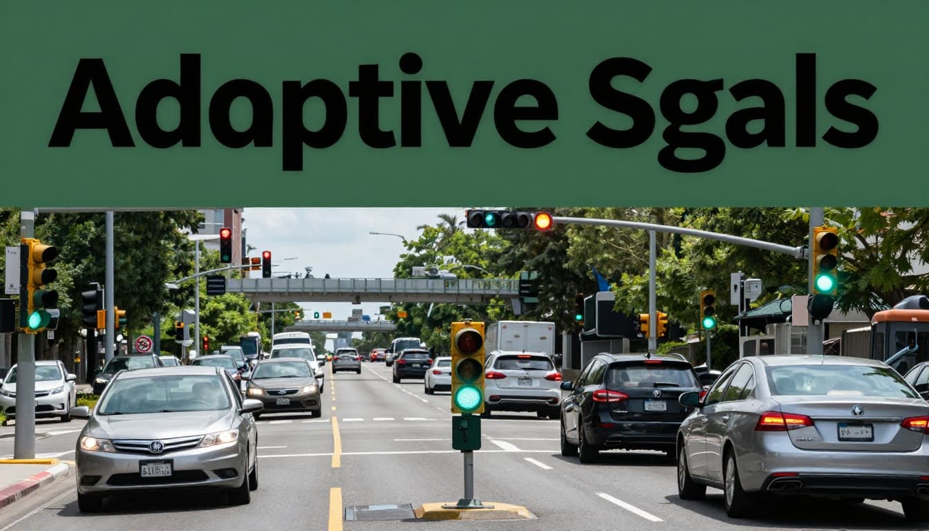
Adaptive Signals and Ramp Metering: Timing Traffic for Non-Stop Flow
Most congestion starts at intersections and ramps. A single bad signal cycle can trap cars at one red light. Then the slowdown ripples outward, like a traffic jam is a stain spreading across pavement.
Adaptive traffic signals fight that with real-time timing. Instead of using one fixed schedule for the whole day, the system adjusts green time based on what it sees right now. It can give more time to the heavy direction and shorten it for lighter approaches. That reduces stop-and-go driving, so queues form more slowly.
In Minneapolis and nearby corridors, researchers have explored newer adaptive approaches that focus on corridor-wide flow, not just one intersection. For example, the University of Minnesota describes how signal timing changes can reduce congestion and travel time, especially when adaptive methods respond to demand in real time (Smoother traffic flow through better signal timing).
Ramp metering tackles the next chokepoint: the on-ramp merge. When too many cars enter a highway at once, mainline traffic slows down. Ramp lights release vehicles in controlled bursts, often “one-by-one,” then match the gap in highway traffic. The goal is simple, fewer surprise merges.
Think of ramp metering like a careful traffic cop at the merge. It doesn’t stop everyone. It spaces people so the highway stays moving.
Sensors Powering Real-Time Adjustments
Adaptive signals run on live inputs. Without data, the system is guessing. With data, it can respond fast.
Most setups use a mix of:
- Video cameras or radar for movement patterns
- Roadway detectors (often loops or other sensors) for queue length
- Speed checks to see whether a lane is flowing or collapsing
Then AI helps the system decide what timing change makes sense next. For example, sensors can detect a build-up on one approach and extend green time slightly. Meanwhile, the system can cut time on empty legs. The result is less “wasted” green time and fewer red light surprises.
Some cities also use prediction models. Rather than waiting until the intersection backs up, the system looks for early signals of a breakdown. Then it adjusts before the queue grows too large.
A key trend is moving from basic time-of-day planning to demand-based control. Minnesota researchers have worked on a “max-pressure” approach that aims to respond to real vehicle queues in a more consistent way. Their work describes field integration progress and how the algorithm can react to changing conditions (Refining Max-Pressure Traffic Signal Control to Improve Traffic Flow).
When adaptive signals and ramp metering work together, you get a cleaner chain reaction. Intersections feed the corridor, ramps feed the highway, and the system reduces the chance that one location creates a bottleneck for the next.
Ramp Lights Preventing Highway Pileups
Ramp metering is often part of a bigger package called Active Traffic Management (ATM). In ATM, cities and states don’t just meter ramps. They also use variable speed limits, lane controls, and alerts to reduce shockwaves.
Here is the core idea: if you can control how fast cars enter the highway, you control whether the highway stays stable. During peak periods, metering can slow ramp flows slightly so mainline speeds don’t collapse. During lighter periods, it can relax metering so drivers don’t sit unnecessarily.
Some ATM projects also warn drivers before queues fully form. For instance, PennDOT’s work on corridor management includes ideas like “virtual queue protection corridors” that send alerts to help prevent crashes from sudden queueing. The ITS deployment evaluation notes that this kind of warning approach reduced crashes by 11% (Next Generation Transportation Management Centers and Transportation Management Systems).
Ramp metering and virtual queue alerts share the same safety logic. They reduce the moment drivers go from “moving” to “stopped.”
And that matters for congestion. When incidents and rear-end crashes drop, traffic doesn’t get forced into stop-and-go recovery.
Surveillance and AI Monitoring: Spotting Jams Before They Spread
Imagine a jam as a fire. If you wait until you see flames at your own intersection, you’re already behind. Surveillance and AI monitoring aim to catch the problem earlier, often before it fully forms.
Most modern monitoring systems combine cameras and radar with AI that can detect:
- Stalled vehicles and stopped traffic
- Speeding or unsafe driving patterns
- Pedestrian movement near risky zones
- Events that look like crashes, lane blockage, or sudden slowdowns
Then the system sends alerts to traffic management centers. Operators can respond with signals changes, variable message signs, detours, and incident workflows. Even if a human must confirm the issue, the time from “something changed” to “response started” gets shorter.
In 2026, many agencies keep expanding this 24/7 monitoring model. It helps because congestion often grows during off-hours too. People notice the jam when it hits, but the data can reveal it much earlier.
Dubai offers a clear example of how monitoring and prediction can work together. Real-world reporting describes Dubai’s push for AI-based prediction to ease congestion before problems build (AI Traffic Solution: Dubai’s RTA Launches Predictive Lab to Ease Congestion).
The big value is timing. Monitoring systems aim to change traffic behavior while options still exist.
The fastest way to reduce traffic congestion isn’t always adding lanes. Sometimes it’s stopping breakdowns earlier.
AI Cameras as Roadside Detectives
AI cameras act like fast pattern readers. Traditional cameras record video, but they don’t “understand” it. AI systems can interpret what they see, then produce alerts that match traffic management needs.
In practical terms, an AI detection pipeline can:
- Count vehicles and classify movements
- Detect unusual patterns, like a lane suddenly slowing for no clear reason
- Spot hazards, such as a stopped car
- Help confirm incidents so operators act quickly
Some systems also run the intelligence on the roadside device, so data flows faster. Other systems combine AI with radar, because radar can track motion reliably even with changing light.
A real-world monitoring benefit is reduced false alarms. If the system can tell the difference between normal braking and a likely crash block, dispatch time gets better. That means fewer long closures and fewer prolonged slowdowns.
Also, AI monitoring supports a core congestion goal: get response time down. Even small delays matter at high volumes. When response is faster, queues shrink faster too.
Cities Seeing Faster Trips and Safer Roads
When surveillance and AI monitoring work well, drivers notice it as fewer “mystery delays.” The jam still happens sometimes, but it starts later and spreads less.
Here’s a quick snapshot using real results and reported impacts:
| System in action | What it targets | Reported outcome |
|---|---|---|
| Minneapolis adaptive traffic signals | Less delay at key intersections | 19% to 44% less delay in tests, 13% to 25% faster trips |
| Pennsylvania virtual queue warnings | Earlier alerting during queue formation | 11% crash reduction tied to warning corridors |
| Dubai AI prediction and control | Forecasting and easing congestion early | Early tests reported up to 37% less waiting time |
These results don’t mean every corridor performs the same. Traffic patterns, sensor placement, and signal timing rules all affect results.
Still, the pattern is consistent. Systems that monitor and respond quickly reduce the time traffic spends unstable. That is how cities protect road capacity.
Connected Cars, Pricing, and Apps: Smarter Choices to Beat Crowds
Congestion isn’t only a road problem. It’s a choice problem, too. When too many people pick the same route at the same time, the system gets overloaded.
That’s where connected cars, congestion pricing, and apps join the toolbox. They influence behavior, not just signals.
Modern V2X (vehicle-to-everything) connects vehicles with infrastructure. In simple terms, cars can share speed, position, and hazard info. Roadside units and signals can use that data to warn drivers sooner or adjust timing for smoother merges.
Then there’s pricing. Congestion pricing (often implemented as dynamic tolling) raises the cost of driving during peak congestion. It encourages some drivers to shift time, carpool, or pick transit.
Finally, apps and mobility platforms help people route around trouble. Real-time mapping can reduce “wrong turn” decisions that accidentally add to a jam.
All of these systems work best when they connect. When signals, pricing tools, and routing apps share the same “where the congestion is” picture, traffic management gets more consistent.
V2X: When Your Car Talks to Traffic
V2X can reduce confusion at merges and crossings. For example, if a signal knows a vehicle group is approaching fast, it can manage green timing or warnings better. If vehicles share hazard data, drivers can react earlier.
Atlanta’s C-V2X work offers a concrete example. Reporting on Atlanta’s deployment describes a C-V2X deployment district with roadside tech and signals aimed at safer, smoother movement (Atlanta debuts first US C-V2X deployment district at ITS Congress).
What does that mean for congestion? Safer and smoother merges reduce sudden braking. Fewer sudden braking events help traffic stay stable at higher speeds.
This is one reason V2X pairs well with adaptive signals and ramp metering. When vehicles get better warnings, the system can operate closer to its designed capacity.
Pricing and Apps Shifting Driver Habits
Congestion pricing changes incentives. It tells drivers, “The road costs more when it’s full.” When enough people respond, the peak demand drops.
Singapore is a well-known example of Electronic Road Pricing (ERP). The Land Transport Authority updates ERP rates based on traffic monitoring, with scheduled changes when conditions build in specific locations (Revised ERP Rates from 23 March 2026).
Apps help in a different way. They reduce the “late discovery” problem. Instead of learning about a jam after you’re already trapped, you can choose another lane, another route, or another mode.
However, apps can’t fix over-demand alone. If every driver drives at peak time, even the best routing can’t create space. That’s why pricing and road control often work together.
For example, mobility-as-a-service models can combine transit, rides, walking routes, and micromobility. When the right option shows up at the right time, fewer trips become full car-on-car at rush hour.
Also, self-driving taxis add a new variable. They can reduce crash risk, which prevents incident-caused jams. But they can also add total miles traveled if vehicles drive empty to pick up riders. In 2026, experts still debate the net congestion effect, so cities need strong traffic planning and monitoring.
Real-World Wins: Cities Conquering Congestion with These Tools
You don’t need magic. You need systems that work together and improve over time.
Adaptive signals and ramp metering reduce the start of queues. Surveillance and AI monitoring shrink the time it takes to detect incidents. Connected vehicles, pricing, and apps shape demand and reduce surprise merges.
Here’s how the major themes show up in real places:
- Dubai uses AI to predict and manage traffic issues early, with reported reductions in waiting times and smoother trips.
- Minneapolis (and nearby corridors) uses adaptive signal timing to cut delays and speed up travel in tests, especially when timing responds to real traffic demand.
- Pennsylvania corridor work includes warning and management approaches tied to lower crash risk during queue formation.
- Atlanta’s C-V2X district supports safer communication between vehicles and roadside infrastructure to improve behavior near key intersections.
The deeper takeaway is that these projects don’t just add tech. They add control and feedback. Sensors measure, AI interprets, and traffic decisions update. Then agencies refine based on what happens next.
Of course, there are challenges. Costs can be high. Integration between agencies takes work. Also, tech needs good maintenance. Still, these traffic management systems can deliver strong returns because they improve safety and reduce wasted time without waiting for huge construction projects.
That means you often get results sooner than “build a new highway” plans.
Conclusion: Systems Reduce Congestion by Keeping Traffic Stable
That first traffic jam you hit on your commute is painful for one reason. Traffic stopped moving smoothly. These systems reduce traffic congestion by preventing breakdowns, not just cleaning up after them.
Adaptive signals and ramp metering keep flow stable. Surveillance and AI monitoring shorten the time it takes to spot problems. Pricing and apps shift demand so the road load matches capacity.
So the next time you plan a trip, try using real-time routing, and watch what your city rolls out next. Then share your experience, what helped, and what still feels stuck.