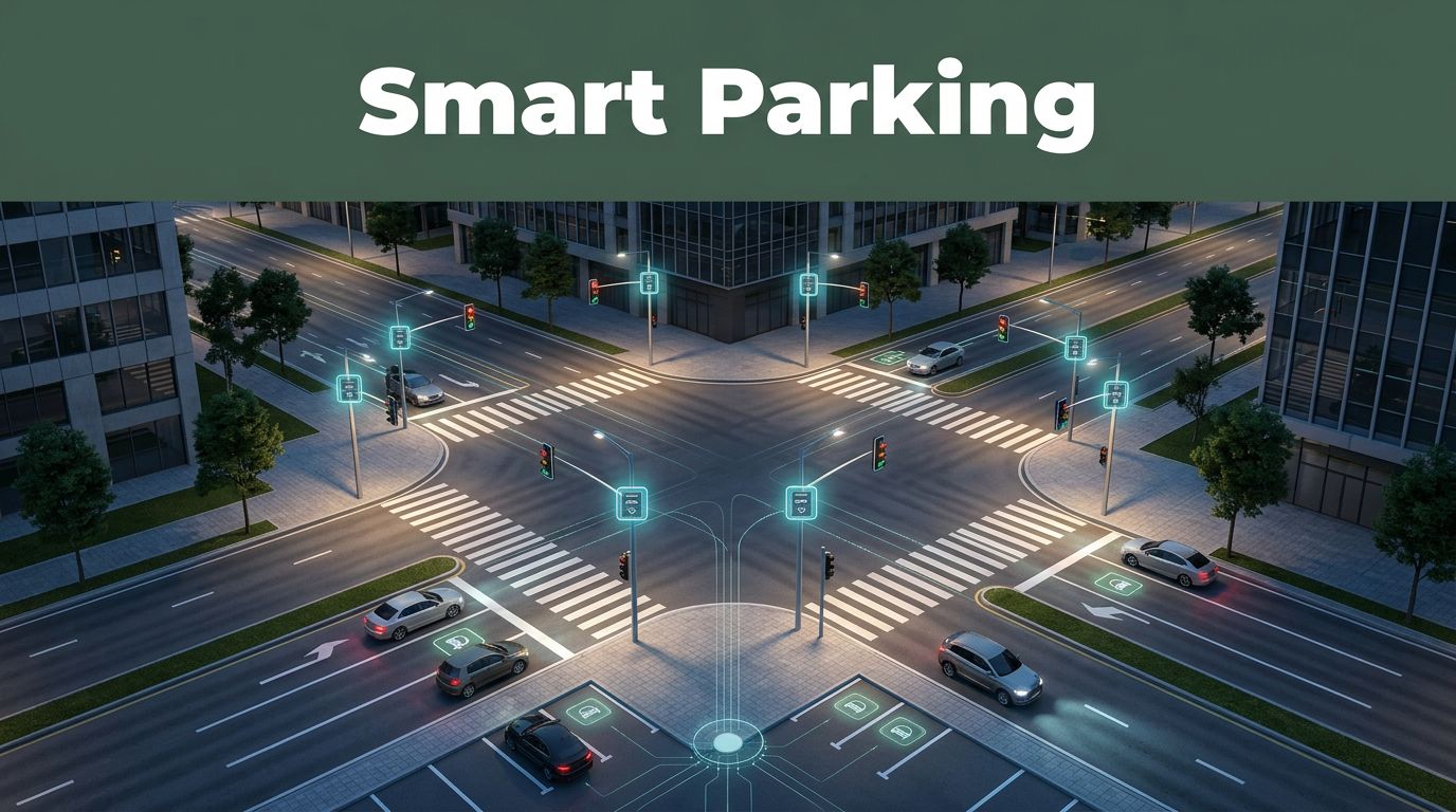
Ever spent 10 minutes circling one block, only to find every curb spot taken? Then you hit another slowdown, because that search traffic stacks up right when the street can least afford it. That frustration is exactly why parking systems integrated with traffic monitoring are growing fast in the US and beyond.
In 2026, smart parking is no longer a standalone app. It’s teaming up with traffic sensors, signal timing, and camera-based traffic data to guide drivers toward open spaces and reduce congestion. Instead of guessing, the system checks real conditions, then shares updates across parking and road networks.
You’ll see how this works under the hood, what data actually flows between systems, and how cities use these connections in everyday life. You’ll also learn what benefits show up first, like fewer dead loops around downtown blocks and smoother pickup and delivery operations. That’s the goal, based on current 2026 smart city tech trends.
Key Technologies That Link Parking and Traffic Systems
Think of an integrated system like a well-run orchestra. Parking sensors keep time at the curb, traffic tools follow the beat of flow and safety, and the “conductor” is the software that merges the signals into one plan.
Here are the core building blocks behind sensors IoT AI cloud parking traffic integration:
- Parking occupancy sensing: Ground sensors and cameras determine if a spot is free or blocked.
- Traffic monitoring: Cameras, radar, and signal controllers track how vehicles move on nearby roads.
- IoT connectivity: Devices send small updates continuously, instead of dumping everything once per day.
- AI prediction: Models estimate short-term demand, like where queues will form next.
- Cloud data services: Platforms store and share the data across agencies and apps.
In some deployments, the architecture uses cloud integration patterns described in research like an IoT-enabled, cloud-integrated smart parking design that uses sensors and secure MQTT messaging for real-time monitoring and AI optimization (IoT-enabled smart parking on TRID). That kind of setup helps parking data stay usable for traffic decisions, not just parking apps.
It also helps to understand how traffic management itself is shifting. Many modern systems move away from fixed timing and toward data-driven control. For a grounded look at that shift, see a technical overview of traffic management that links V2X, AI, and IoT (next-gen traffic management at V2X and AI).
Sensors and IoT: The Eyes on the Ground
Sensors are the first source of truth. They sit where the confusion happens, in the parking surface and along the curb.
Ground-based occupancy sensors and camera systems work together. A ground sensor detects whether a space holds a vehicle. Video checks help confirm status, especially when weather, glare, or unusual angles make single-tech sensing less reliable.
Also, modern setups often include radar-style sensing for tougher conditions. In rain or low light, radar and video fusion can reduce “false free” readings.
Here’s the simplest way to picture it: these sensors are like parking lot spies. They watch, they report, and they don’t care about your route preferences. They just tell the truth about what’s open right now.

Once the sensors collect data, IoT networks carry it to back-end systems. That part matters because integration fails when updates arrive late. If parking availability updates lag by even a few minutes, drivers circle again.
Research on real-time smart parking also highlights how IoT plus edge or fog-style computing can reduce delay by processing data closer to where it’s captured (real time smart parking with IoT and fog computing). Lower latency helps keep traffic decisions aligned with what drivers see.
AI and Cloud: Smart Brains Making Decisions
Sensors tell you what’s happening. AI helps you predict what will happen next.
For example, if a garage fills quickly and street queues grow near the nearest on-ramp, AI can estimate near-term demand. Then it can steer resources, like changing signal timing plans or adjusting recommended parking zones for incoming drivers.
Cloud platforms play a supporting role, but a huge one. They aggregate data from many locations, then share it across systems. That way, a traffic operations center can factor parking conditions into decisions, instead of treating parking as invisible background noise.
In some deployments, AI also supports dynamic pricing and better time guidance. If the system expects a surge, it can suggest time-based options or reserve blocks for high-demand periods. Predictive analytics can also improve load balancing for garages, so demand spreads instead of spiking at one curb segment.
A simple real-world analogy helps. Imagine a traffic light controller as a chef. It doesn’t just follow a fixed recipe. It changes the cook time based on how many orders arrive and how fast the line moves. AI gives the chef the order data, parking sensors included, so the “timing” fits the moment.
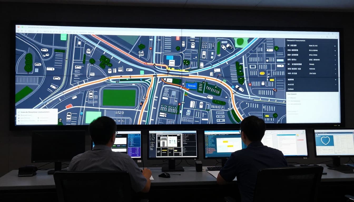
How Data Flows Between Parking and Traffic Systems
Integration doesn’t happen through one magic dashboard. It happens through data sharing methods that let parking systems and traffic systems speak the same language.
The key is that parking data and traffic data need to align on time, location, and definitions. “Occupied” in one dataset must match “blocked” in another. “Nearby” must mean the same physical distance everywhere.
Common integration approaches include:
- Data sharing APIs for app and platform connections
- V2X paths for car-to-infrastructure communication
- Digital twins for test and simulation before real changes
These methods also support better enforcement. For instance, a vehicle captured by access control or license plate recognition (ANPR/LPR) can be cross-checked against local rules. This can help reduce repeat issues like illegal parking that blocks fire lanes or affects loading zones.
APIs and Open Platforms for Seamless Connections
APIs are the “plug” that makes systems interoperable.
With APIs, parking data can flow into traffic tools and driver-facing apps. That’s how a navigation app can show real availability while traffic signals adjust nearby flow, all without manual updates.
You’ll often see APIs used for:
- Parking availability feeds to map apps and wayfinding tools
- Signal timing inputs to mobility and operations platforms
- Permit or reservation checks so rules stay consistent
In practice, a driver might open an app, see open bays, then approach the corridor while the traffic controller uses that same context to reduce stop-and-go waves near busy entrances.
IoT networks and mobile systems also benefit from open platform thinking. Cities want less “data silo” behavior. When agencies share through documented interfaces, the system can scale beyond one vendor or one garage.
Advanced Tools Like V2X and Digital Twins
V2X goes beyond simple sensors. It pushes information out to vehicles, and it can also support richer safety alerts and traffic coordination.
For smart signals, V2X can help signals react to what’s happening on the roadway sooner. This matters when parking search traffic spills into intersections. If vehicles anticipate congestion, signals can adapt with fewer surprises.
For a clear introduction to the idea, see an overview on V2X for smart traffic signals and safety improvements (V2X for smart traffic signals).
Digital twins add another layer. A digital twin is a virtual copy of a corridor or city district. Planners can test changes like:
- reallocating curb space,
- changing signal splits near a garage entrance,
- adjusting how loading zones are reserved.
Instead of guessing, teams run scenarios in a safe virtual setting. Then they use the results to guide real deployments, which reduces trial-and-error on busy streets.
Real Cities Putting This Tech to Work
Integration works best when it’s tied to real daily pain. Drivers don’t care about sensor models. They care about one thing: getting to an open spot without adding more congestion.
In the US, one major shift is better verification of on-street availability. For example, the INRIX parking platform expanded to 13 new cities and uses fixed cameras to watch parking spots and loading zones. It then shares verified availability with drivers through apps and mapping services (INRIX parking platform expansion noted in 2026 updates).
This matters because older systems sometimes relied on estimates. Verified camera-based views reduce wasted loops when drivers think a spot exists but it’s actually occupied.
Now look at how cities apply these systems in different ways.
Lessons from San Francisco de Campeche and Penang
Some of the strongest public examples focus on traffic signals, because that’s where curb demand and street flow collide.
In Mexico, Campeche has used smart traffic lights tied to AI and traffic operations, helping manage how vehicles move through busy areas that also depend on curb availability. A related case description from Dahua highlights Campeche’s smart traffic light rollout (Campeche smart traffic lights case).
Malaysia’s Penang has also been associated with AI-powered traffic management efforts, where road monitoring supports smoother corridor flow. Even when parking data isn’t the only variable, parking demand affects turning movement queues and intersection stress. That means traffic systems benefit from parking-side signals, especially near bridges, entrances, and popular commercial strips.
In other words, the parking and traffic systems don’t need identical hardware. They need aligned logic.
Big Wins in Minneapolis and Other Spots
US deployments often focus on reducing “search time” and improving access to parking for residents, workers, and delivery fleets.
Recent 2026 updates show how universities and logistics operators are using smart guidance. For example, Clemson University launched (or announced) a large smart parking program for 29,000 students and faculty, guiding them to available spots in real time. Also, Streetline announced a smart truck parking system in Arizona tied to state transportation goals, designed to reduce time lost on curb waiting and help trucks avoid double-parking behavior.
Those are different use cases, but the shared thread is clear: parking systems integrated with traffic monitoring help reduce driver frustration and keep vehicles from creating extra roadway demand while searching.
Meanwhile, cities continue expanding EV charging inside parking footprints. When charging utilization rises, parking guidance matters more. A charger that looks free on paper might be blocked by a car idling in a stall. Better occupancy sensing and shared data keep EV users from getting stuck in the same loop as everyone else.
Why This Integration Changes Driving for the Better
When parking and traffic systems share data, the result is not just “better parking.” It’s better movement.
Here’s what tends to improve first:
| What drivers feel | What the system changes |
|---|---|
| Less circling and fewer dead ends | Real-time occupancy updates and faster route guidance |
| Fewer surprise slowdowns near garages | Signal timing and corridor control informed by parking demand |
| More reliable curb and loading behavior | Enforcement support from access and occupancy signals |
| Better space use across garages | AI-based prediction for short-term demand shifts |
The biggest win is simple. Drivers stop treating parking like a random hunt.
Smoother Rides and Fewer Jams
Parking search traffic can act like a hidden lane of congestion. People creep forward, stop, and turn again, then repeat, especially near popular entrances and curbloading zones.
With integration, traffic systems can adjust more calmly. For example, if parking sensors show rising curb pressure, traffic operations can shorten or extend certain phases to keep turns from forming gridlock. If the corridor is already near capacity, traffic plans can discourage spillback by guiding movement flows earlier.
And with connected approaches like V2X, vehicles can get faster situational context, which helps reduce sudden braking and late lane changes. Even without vehicle-to-vehicle messaging everywhere, improved signal coordination still helps.
The real goal isn’t just “finding a spot.” It’s preventing the search from becoming a traffic problem.
Smarter Parking That Saves Time and Money
On the parking side, integration usually means three practical upgrades.
First, drivers see accurate spot status. Systems that use sensors IoT AI cloud parking traffic integration models reduce the gap between what you think is open and what’s actually available.
Second, access and payment workflows get more automated. When license plate recognition or other entry tools match real-time availability, the parking experience becomes more consistent.
Third, some cities use predictive insights to manage demand. If an area typically fills in 20 minutes after a weekday event starts, the system can prepare guidance early. In turn, that reduces peak surges at one garage entrance.
On the financial side, better space use can mean more revenue per square foot. It also reduces costs tied to enforcement conflicts, ticket disputes, and “lost time” for deliveries.
Ready to see less circling in your own area? Start by checking the smart parking apps that show verified availability, then pay attention to whether nearby signals feel less chaotic during peak hours.
Conclusion
Circling for parking is more than an annoyance. It adds traffic that slows everyone down. That’s why parking systems integrated with traffic monitoring are changing how cities coordinate streets and curb demand.
When occupancy sensors, IoT updates, AI prediction, and cloud sharing work together, traffic operations can respond to what drivers face at the curb. And real deployments, from major US smart parking expansions to AI-informed signal work in places like Campeche, show the same theme: better parking data helps streets flow better too.
If your city offers real-time parking availability, try it during your next busy window. Then share what you notice. Better feedback helps cities keep improving the connections that matter.