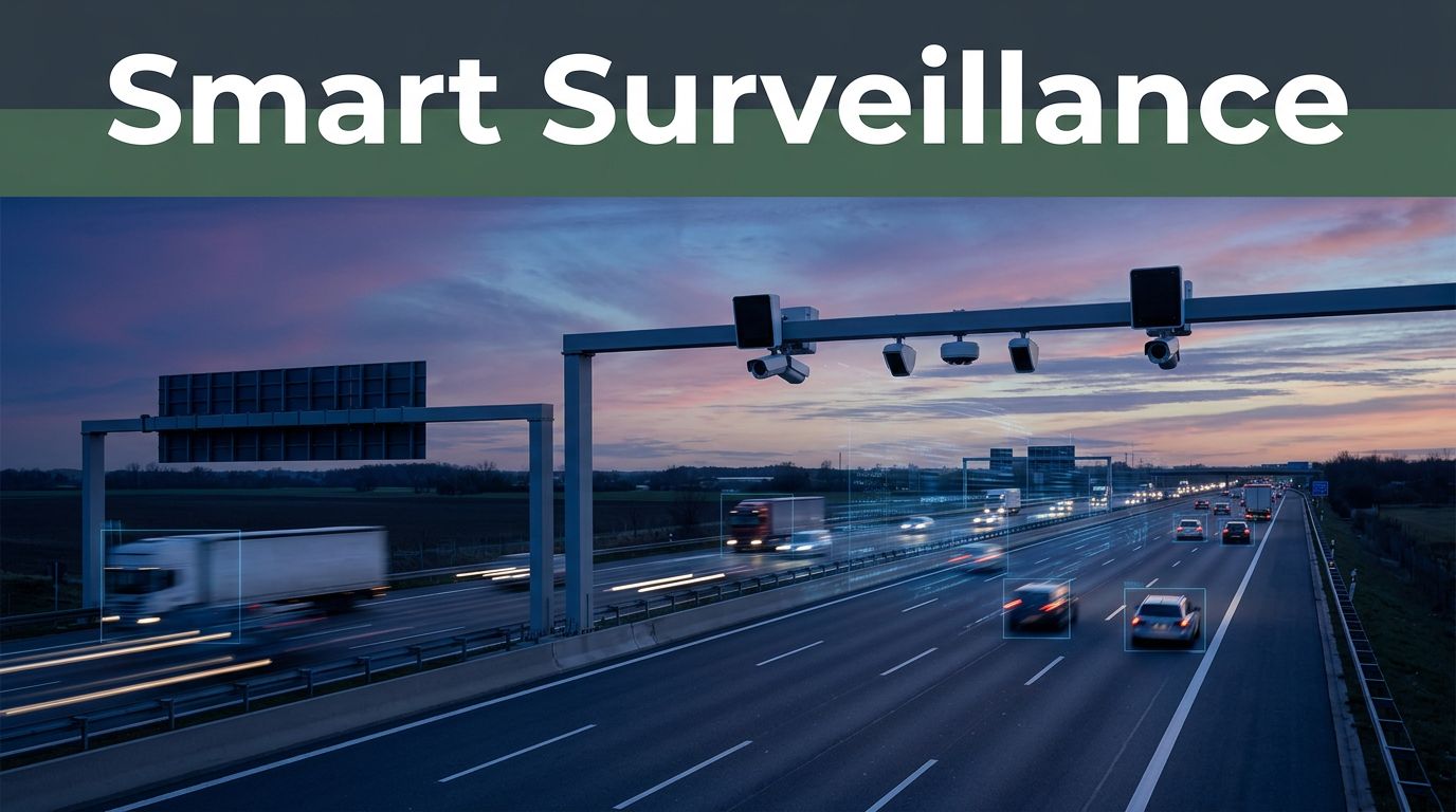
That highway jam you thought would last forever can clear fast, once operators can spot trouble early. In 2026, hidden “eyes” and roadside tech watch traffic 24/7, then help planners and control centers respond in minutes. As a result, lanes can reopen sooner, signs can warn drivers earlier, and crashes can get help faster.
So how highways are managed using surveillance systems? It starts with cameras, radar, and other sensors that capture what’s happening on the road. Then edge AI and smart software analyze it, turn data into alerts, and guide actions like adjusting ramp meters, updating variable message signs (VMS), or dispatching crews.
Meanwhile, the systems do more than track vehicles. They also support safety work (like wrong-way detection), enforcement work (like speeding evidence), and traffic-flow work (like congestion prediction). Still, privacy questions follow closely, so the “wins” matter as much as the “guardrails.”
Next, let’s break down the core surveillance tech that makes modern highway management possible.
Core Surveillance Tech Watching Our Highways
Highways don’t rely on one camera. They rely on a toolbox that covers different problems in different conditions. For example, a license-plate camera struggles in fog, but radar can still track motion. Video helps with context, while sensors help with measurements.

Cameras and Sensors: The Eyes and Ears on the Road
Highway surveillance cameras do most of the “seeing.” However, they often work with extra sensors, so operators get both clarity and accuracy.
Common hardware includes:
- ANPR (automatic number plate recognition) for reading license plates and logging times.
- Thermal or low-light imaging for detecting vehicles at night or in bad visibility.
- Traffic cameras for speed and lane position, plus vehicle counts in key zones.
- Radar-based speed sensors that measure motion even when video quality drops.
- Weight-in-motion sensors that estimate truck weight without stopping traffic.
Many systems use camera and radar together, so the software can track a vehicle even when it’s partly blocked. That matters most near merges, construction zones, and ramp areas.
AI and Edge Computing: The Smart Brains
Raw video is useful, but it’s slow for decision-making. That’s why AI traffic sensors now analyze streams in near real time.
In 2026, major vendors describe AI approaches that combine multiple “views” of the roadway. For example, Dahua showcased its Xinghan 2.0 AI model for traffic management at Intertraffic 2026, using a mix of vision, multimodal signals, and other processing to detect and react to highway issues faster (Dahua shows AI ITS solutions at Intertraffic 2026).
Edge computing keeps the response quick. Instead of sending everything to a far server, the camera or roadside unit can flag problems onsite. Then it sends alerts, not whole video files.
Operators get faster notifications because the system can fuse data like:
- camera observations,
- radar movement,
- and mapped lane geometry.
Emerging Tools: Drones, V2X, and Mobile Units
Some surveillance is fixed. Other surveillance moves.
First, mobile units turn patrol cars into scanning platforms. When officers or tow operators roll up, the system can capture incident context quickly and share it with the traffic center.
Next, drones help with remote checks, especially for events that are hard to access safely. They can also verify what an operator suspects, before dispatching more resources.
Finally, V2X (vehicle-to-everything) support links roadside systems with vehicles and digital road messages. In one real pilot direction, connected mobility projects use roadside units to communicate with onboard equipment, including live C-V2X tolling trials on highway corridors (example coverage appears in projects like Temecula, Calif., smart freeway pilot revises up for launch).
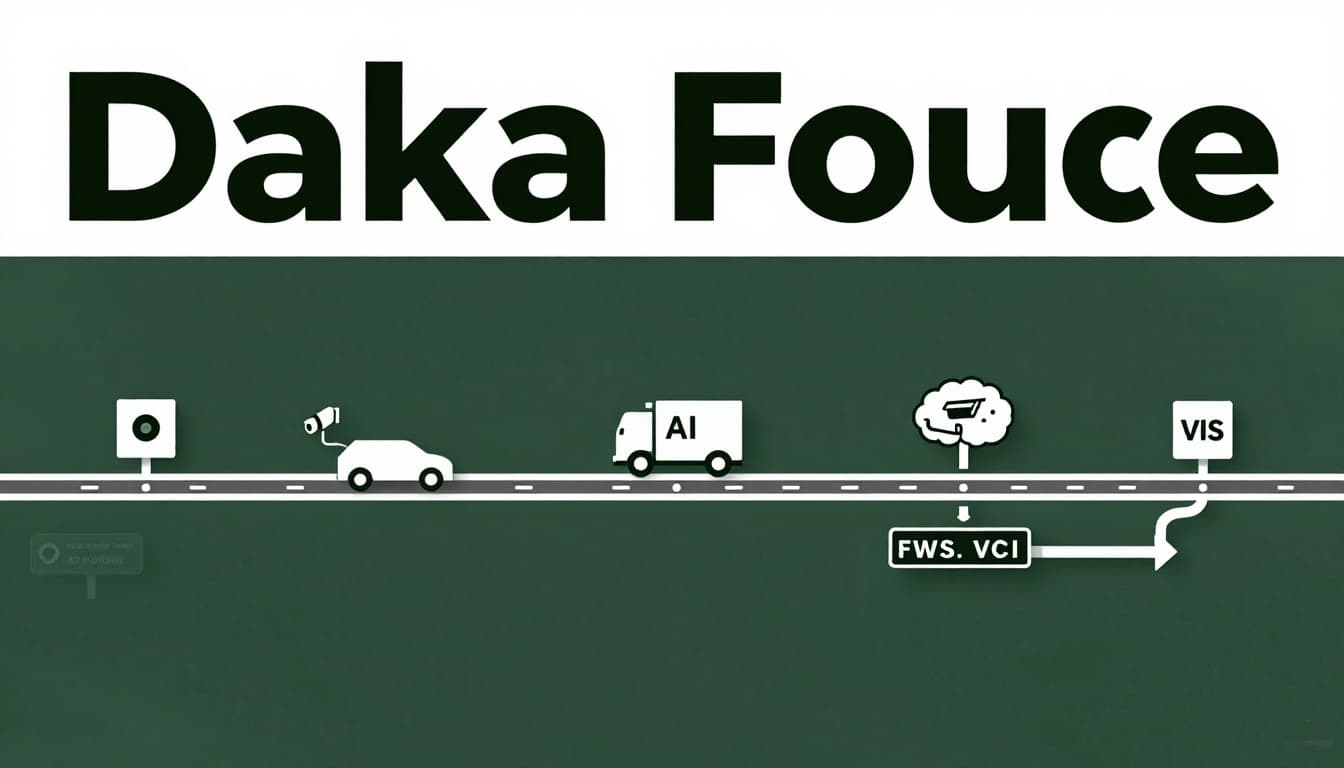
How Data Flows from Capture to Quick Fixes
Surveillance only helps if it turns into action. So the real story is data flow, from capture to control room decisions.
Here’s the basic path many highway systems follow:
Road sensors capture → edge AI filters → platforms correlate → operators trigger actions → drivers see results
In practice, highways can collect data continuously, including:
- vehicle speed and flow,
- stopped vehicles and slowdowns,
- lane-level counts,
- and plate reads when permitted and configured.
Then the system processes that data. Many setups rely on a blend:
- Edge processing for fast detection and filtering.
- Cloud or hybrid storage for longer archiving and broader analytics.
- Unified management platforms that combine alerts with traffic plans and sign controls.
Once the software flags an issue, operators can act. Actions often include:
- changing VMS messages (speed advisories, incident warnings),
- adjusting ramp meters (metering inflow to reduce shockwaves),
- dispatching tow or emergency response,
- or opening a closed lane when conditions improve.
Because the system knows where the alert happened, it can also reduce guesswork. That’s the difference between “something’s wrong” and “the crash is at this exact spot.”
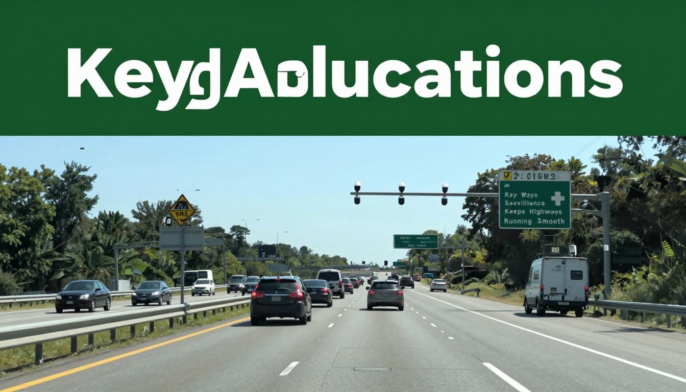
Key Ways Surveillance Keeps Highways Running Smooth
Surveillance helps highways run like a living system. When it works well, you get smoother traffic and faster responses. When it fails, you get late warnings and more confusion for drivers.
A quick way to see the payoff is to compare common applications:
| Application | Surveillance Tech Used | Goal |
|---|---|---|
| Highway incident detection | Video + radar fusion, AI alerts | Find crashes and lane hazards fast |
| Queue and congestion warning | Cameras that detect slowdowns, analytics | Warn drivers before backups form |
| Traffic enforcement support | Speed sensors, ANPR, evidence capture | Reduce unsafe driving and behavior |
| Wrong-way and near-miss detection | Multi-sensor tracking | Spot high-risk movements early |
The takeaway is simple: surveillance turns patterns into decisions.
Catching Incidents Before They Worsen
Many crashes look obvious after the fact. During the first seconds, though, it’s hard to tell severity from distance.
That’s where highway incident detection matters. AI can flag:
- stopped vehicles in live lanes,
- rapid speed drops,
- wrong-way movement,
- or pedestrians near ramps.
To reduce false alarms, some systems fuse radar with video. Radar gives steady motion signals. Video gives context, like vehicle shape and lane location.
Another use is queue detection. For example, Ohio DOT is installing automated traffic queue warning systems that use cameras to detect when traffic starts slowing and then warn approaching drivers with signs (ODOT adding automated traffic warning systems on highways).
When warning signs trigger earlier, drivers have more space to slow down. That often means fewer secondary crashes.
Beating Traffic Jams with Smart Predictions
Congestion doesn’t start as a big jam. It starts as a small speed change.
Surveillance helps detect early flow issues, so controllers can respond before the road “breaks.” Then tools can coordinate actions like:
- ramp metering (holding vehicles back in small batches),
- adjusting sign messages to spread speed and reduce stops,
- and prioritizing lane closures in work zones.
Weight-in-motion sensors also help. When trucks exceed axle weight limits or show unusual patterns, agencies can enforce rules and reduce road wear. In addition, planners can reroute heavy traffic when there’s a pattern tied to delays.
Enforcing Safety Without Endless Patrols
Patrolling every mile is impossible. Surveillance can fill the gaps, especially for repeat risk behaviors.
For enforcement support, systems can detect:
- speeding based on radar and speed camera evidence,
- distractions when configured for public-safety programs,
- unsafe weaving and risky lane changes,
- and other high-risk patterns tied to highway geometry.
Some systems also support intelligent speed assistance style workflows by linking speed-limit maps with vehicle speed data, depending on jurisdiction and deployment design.
Still, enforcement matters most when it’s paired with fair review. That’s why many agencies focus on clear evidence capture and strict access rules.
Surveillance helps most when it guides both response and prevention. It’s not just about penalties.
Real Highways Getting the Surveillance Upgrade
It’s easy to talk about tech. It’s harder to see what’s actually deployed on real corridors.
In the U.S., upgrades often show up through pilots and staged rollouts. One example is the “smart freeway” work in Temecula, California. Reporting describes systems using sensors and ramp meters to regulate traffic over miles of northbound freeway as part of a pilot program (Temecula, Calif., smart freeway pilot revises up for launch).
At the same time, 2026 trade-show coverage highlights how vendors improve the sensor mix. Many systems lean on:
- radar-video fusion for tough weather,
- lane-level monitoring for work zones,
- and AI-driven alerts for incident management.
These upgrades also connect to enforcement and safety programs. For example, AI video monitoring research shared by industry reporting suggests meaningful reductions in preventable accidents and distracted driving incidents after AI monitoring is deployed. The exact results vary by region and setup, but the direction is consistent: better detection leads to safer outcomes.
So on a typical day, you might notice it as faster incident response, smoother sign updates, and fewer hours lost to slowdowns.
Wins, Hurdles, Privacy, and What’s Ahead
The benefits are clear when systems work as designed. However, the tradeoffs also deserve honest attention.
Where surveillance can improve safety and response
Recent industry reporting and vendor materials often point to multiple gains, such as:
- fewer crashes when detection improves and response gets faster,
- faster lane reopen times during incidents,
- and better traffic control decisions due to real-time data.
Edge processing also reduces bandwidth load. Instead of moving endless video, systems send alerts and relevant clips.
The tough parts agencies face
Costs and installation complexity can slow adoption. Also, weather matters. Rain, fog, snow, glare, and smoke can degrade camera-only detection. That’s why fusion systems are increasingly common, since radar can keep tracking when video struggles.
Operational workload is another hurdle. If alerts are noisy, operators lose trust. Good systems filter and prioritize, so staff see fewer, more meaningful events.
Privacy concerns and how they’re being handled
Privacy debates are not theoretical. Reporting about AI-linked camera networks has raised alarm about mass surveillance risk, including how vehicle and tracking systems may expand beyond traffic safety (AI turning US street cameras into a mass surveillance state).
Some deployments respond with privacy-focused settings like:
- blur features for faces in stored footage,
- retention limits on raw data,
- and strict access rules for plate reads.
Even then, public trust depends on clear policies. It also depends on proving the system helps safety more than it fuels fear.
Privacy isn’t a blocker, but it needs rules that hold up in public.
What’s next beyond 2026
Expect more automation in how alerts become actions. In addition, more systems will use connected vehicle signals (V2X) to predict congestion and incident spread.
On the data side, agencies will also push better measurement. In the U.S., NHTSA crash research and reporting frameworks show how safety data gets organized and published through standard crash reporting channels (NHTSA CrashStats publication topic list).
That matters because surveillance tech must be measured, not just installed.
Conclusion
So the answer to how highways are managed using surveillance systems is that it’s mostly about timing. Sensors watch the road, AI filters the important signals, and control centers turn alerts into traffic actions.
When the tech is paired with good policies, surveillance can cut delays and speed up help during incidents. When it’s paired with privacy guardrails, trust can last longer than the pilot.
If you want to think about your next drive differently, watch for the patterns: faster sign changes, earlier warnings, and smoother ramp merges. In 2026 and beyond, the most meaningful progress will come from systems that keep improving detection while staying accountable to the public.